LOESSFEST'09 | Aug. 31st – Sept. 3rd, 2009 |Novi Sad-Serbia
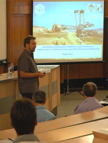
Distribution and Structure of Middle to Upper Pleistocene Loesses and Sol Complexes in the Lower Rhine Embayment
Kels, H.1
1Heinrich-Heine-Universität Düsseldorf, Universitätsstr. 1, 40225 Düsseldorf, Geographische Institut-RWTH Aachen, Wüllnerstraße 5b 52056 Aachen
The loess cover in the Lower Rhine Embayment (Germany) enjoyed a long history in research and is one of the most well-studied loesses in Central Europe. So far, however, little was known about the concrete distribution of single loess units in that area.
 Using the new and highly differentiated loess stratigraphy developed by Wolfgang
Schirmer in the last decades (Schirmer 2002, 2003), the structure and the
distribution of the loess cover on the Rhenish Main Terraces of the western Lower
Rhine area was studied in my PhD thesis “Bau und Bilanzierung der Lössdecke
am westlichen Niederrhein” (Kels 2007).
Basic studies result from the interdisciplinary fieldwork of the Department of
Geology of the Heinrich-Heine University in Düsseldorf together with the Institute
of Prehistory Archaeology, University of Cologne. Only by tracking and
documenting long sections of the loess walls exposed in the browncoal open-cast
mine Garzweiler it was possible to build up a detailed sketch and to stratify Palaeolithic
find complexes.
In addition to the fieldwork, mass calculations concerning the different documented
loess units followed. The results show that in Garzweiler on a length
about 1,600 meters nearly 50% of the walls is build up by Upper Würmian loess,
nearly 25% were assigned to each Middle Würmian and Pre-Eemian. Only small
percentages belong to sediments of Lower Würmian and Holocene age.
Based on the results from the documentation of the wide-ranging sections the loess cover was studied as a whole. Therefore, loess thicknesses from published and own profiles and the evaluation of drillings were used to implement them into a geographic information system (GIS). As a result a new, more precise loess map of the western lower embayment was prepared. The mass balance of the loesses shows that about 5.3 billion cubic meters of loessic sediment remain into the studied area which follows certain patterns of spread.
Further on, selected areas of the loess plateau were examined more closely. It became obvious that tectonic impact causes thinning or swelling of the loess cover. In addition, luv- and leeeffects and exposure are the main steering factors which cause solifluction and the development of alluvial loess, the dominant loess-type at the Lower Rhine. Furthermore, old stream channels show limiting features concerning the loess cover. The example of the Elsbachtal, a local valley in the browncoal open-cast mine Garzweiler was developed during multiple phases of erosion and fill-up. Usually, the conservation of older loess strata is related to morphological sediment traps, while younger loesses (especially the Upper Würmian Brabant Loess) cover these ancient land surfaces in a widespread and relatively even veiled way.
The structure of the loess cover remains understandable only under the observance of numerous discordances which occurred as limiting factors (Schirmer 2003).
Apart from a few favoured positions with extensive loess conservation, the average picture of the loess cover on the Rhenish Main Terrace plateau is the relic one.


